Accurate Spatial Data for Planning, Control and Analysis

Nordes Buve logoMark Arhitekti logoIDOM logo

Industries

We work across multiple industries, adapting our deliverables to meet each sector’s technical and operational needs

Transport
Manufacturing
Energy
Logistics
Commercial
Public
Social
Residential

Projects

Rail Baltica section at Riga Airport

Services
360° virtual tours
Aerial inspections
Aerial imagery
BIM modeling
Photogrammetry
Terrestrial laser scan

A reliable partner who provided continuous digitalization of assets using drones, laser scanning, and RGB cameras from the very beginning of the project through the construction

Ewald Brandner
LinkedIn icon
Contractor’s Representative and acting Project Manager Swietelsky AG

Riga Waterfront

Services
Aerial inspections
Photogrammetry
Terrestrial laser scan
BIM modeling
Aerial imagery
360° virtual tours

The high-precision Scan-to-BIM services for the historic buildings of the Andrejsala provided a solid foundation for the architectural team to move the reconstruction forward

German Stroganov
LinkedIn icon
Design Project Manager

Latvijas Maiznieks

Services
Aerial imagery
Photogrammetry
Terrestrial laser scan

AirScout delivered a complete point cloud of the entire factory, creating a precise foundation for future expansion and development

Igors Adlersbergs
LinkedIn icon
CEO at Arhis LLC

Mezaparks Grand Bandstand

Services
360° virtual tours
Aerial inspections
Aerial imagery
Cinematic videos
Photogrammetry

Provided valuable visual and spatial data throughout the reconstruction, offering drone imagery, videos, and inspections that gave the team clear insights for planning and managing the construction process

Valdis Čerpakovskis
LinkedIn icon
Construction Project Manager at LNK Industries

See potential for collaboration? Let’s discuss it

Meet Airscout

AirScout team photo: two men in blazers holding drones, standing indoors beside a FARO FocusS 3D laser scanner on a tripod

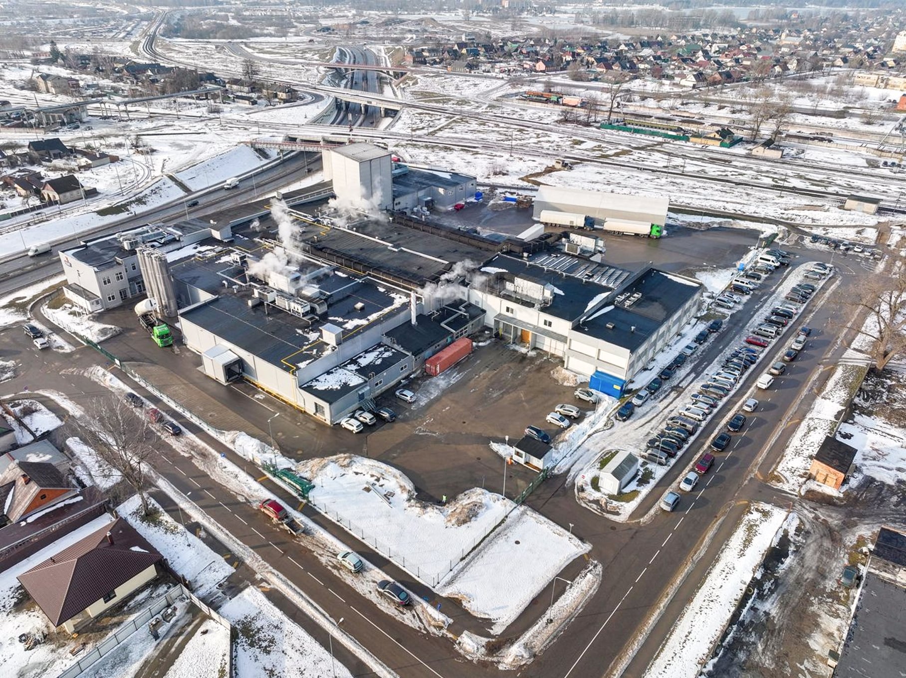
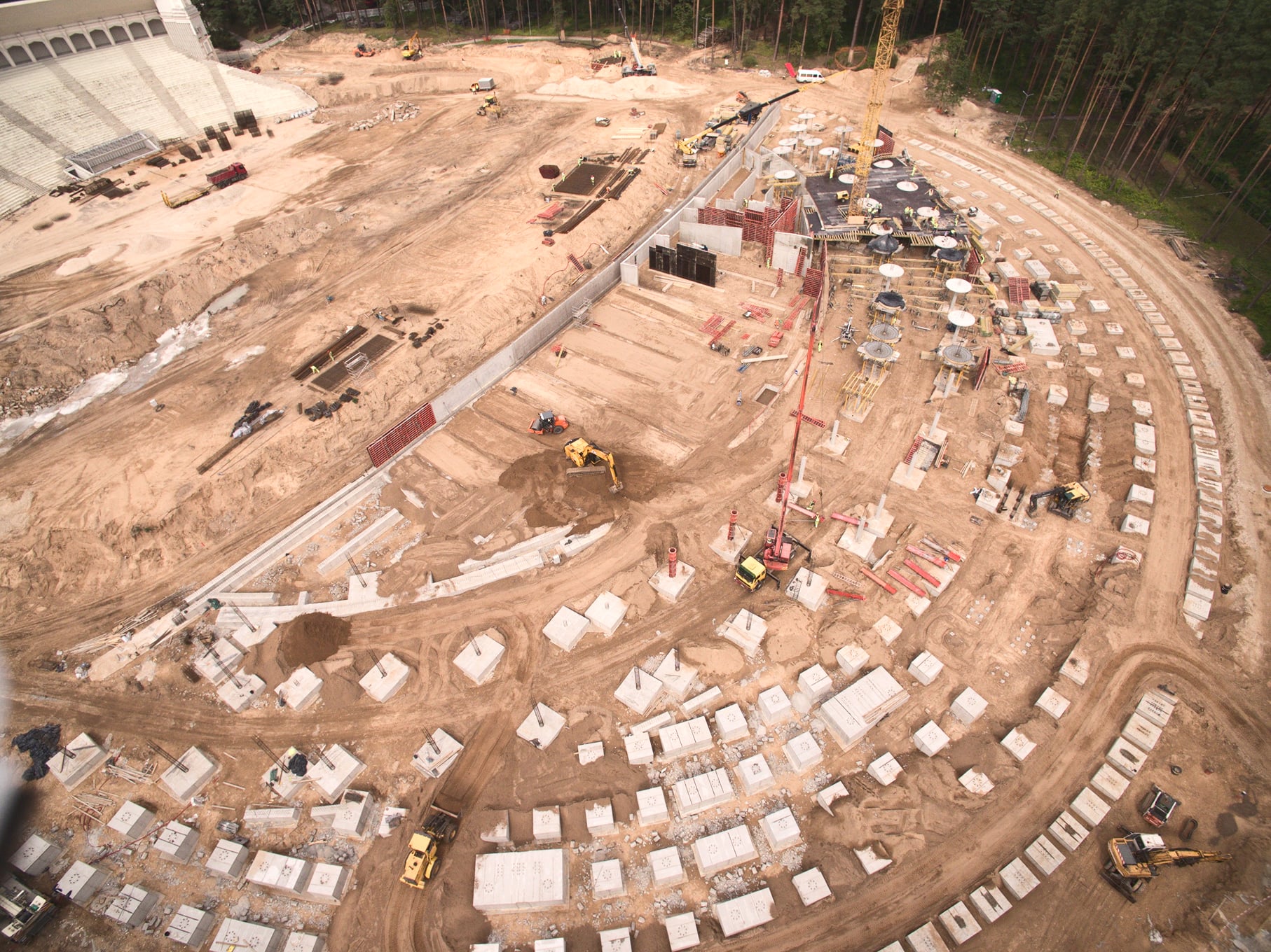
AirScout — founded in 2017, we specialize in aerial imaging, photogrammetry, laser scanning, and digital modeling. Over the years, we’ve delivered dozens of infrastructure and construction projects across the region.

In 2022, we launched AirScout AGRO, extending our expertise in drone technology to the agricultural sector.

413

completed projects

9

years delivering results

European Union Aviation Safety Agency log

EASA certification

A1, A2, A3, STS

Follow us on Linkedin